A few words about Kimolos
Kimolos is one of the outlying islands of the western Cyclades (during the winter the boats are funded by the government to go there). It is 37 sq. km. and is between Milos and Sifnos, 87 nautical miles from Piraeus and one nautical mile from Milos. The relief is mild and the tallest mountain is Paliokastro, 364 metres. high. The majority of the island was created through volcanic activity, and it has a large variety of minerals, the most characteristic being kimolia (chalk) which has been exported since ancient times.
Kimolos, together with unhabited Polyaigos, forms one of the most important habitats for the Mediterranean Seal in the whole world and is also a site protected by "NATURA 2000" (the network of ecologically important regions in Europe), due to its abundance of rare flora. Two different species of reptiles live only here, the adder Macrovipera Sveitzerii and the lizard Podarcismilensis. The rocky coasts are a breeding ground of the rare sea bird the European Shag (Phalacrocorax Aristotelis) and the almost extinct Eleonora's Falcon (Falco Eleonorae), while in the interior Bonelli's Eagle (Hieraaetus Fasciatus) and the buzzard Buteo Rufinus nest.
The ancient capital was at Ellinika a well-developed and rich town which eventually sank beneath the waves. Today, in this area, in the west of the island, you will find the ruins of the Necropolis, with graves from the Geonmetric era, and if you do some snorkelling you will see the ruins of the ancient town at a depth of about two metres. At the Archaeological Museum (100 metres from the House in the Castle) the long history of the island is displayed in a modern manner.
Later on, Kimolos was named Arzantiera or Arzentiera, a word of Venetian origin, because of the silver-coloured rocks. Like the other islands of the Cyclades, over the centuries it faced many problems from pirate raids with encroachments on its sovereignty at the hands of strangers; but it has also seen days of fame. During the Frankish Occupation, Markos Sanudos linked the island to the Duchy of Naxos (1207). Then the island was occupied by the Turkish and by the Russians during the Russian-Turkish war (1770-1774).

During this period, the position of Milos, at the entrance of Aegean Sea, was very important: it was on the route of commercial vessels sailing from Gibraltar to the Dardanelles (Istanbul), it had a large port conveniently placed for the difficult handling of sailing boats and from there Greek pilots boarded to help the boats cross the Aegean with its thousands of small islands and unpredictable winds. Turkish invaders and pirates pillaged the region, and many times small islands (like Kimolos) were depopulated by the raiders. Very often the Kimolliates had to ally with the pirates and offer them a safe shelter.
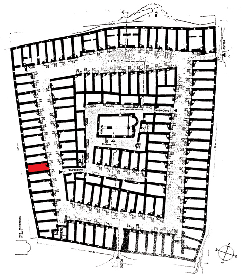
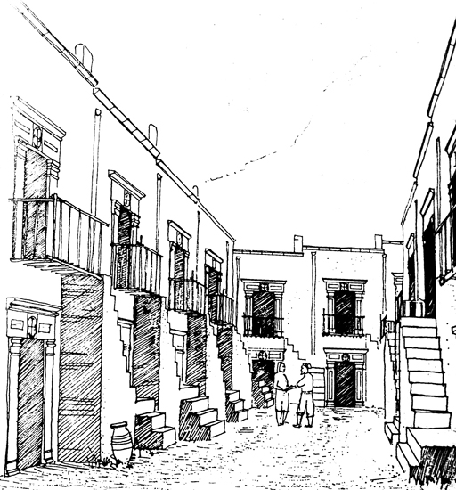
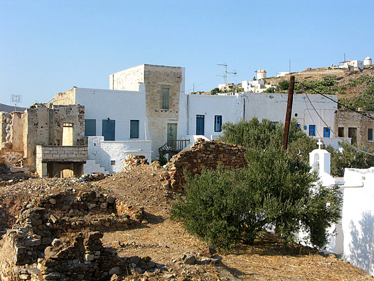
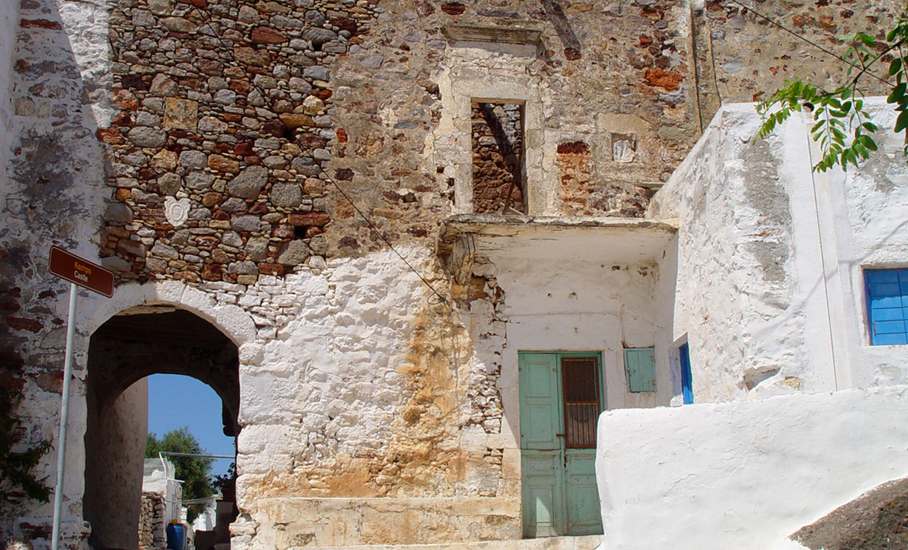
Around the 16th century, the increase in Ottoman and pirate raids obliged the inhabitants to build the Castle.It is a special category of Aegean Castles, in that the construction is a result of the fortification of small rural settlements. A main characteristic is the perimetric positioning of the houses in a continuous layout, so that the fortification wall is formed by the walls of the exterior houses. Today, the interior of the Castle is ruined and only the Church of Christ (1592) exists. Most of houses forming the exterior have not been destroyed and there is a trend towards renovating them. One of these houses is the House in the Castle.
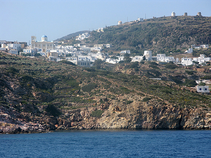
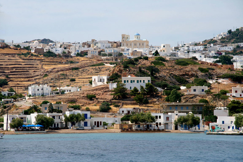
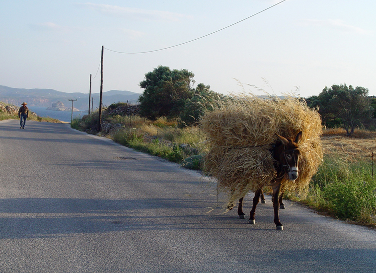
Two gates lead to the newest settlement, the Horio, the capital of the island with 500 permanent inhabitants. The narrow stone-paved alleys and the numerous churches create a setting that transports the visitor to a previous age. There is a school, a surgery, pharmacy, two mini markets, a few tavernas, two coffee shops, two bars and small shops that sell basic necessities. The residents work with agriculture, animal rearing, mining, fishing and only recently with tourism.
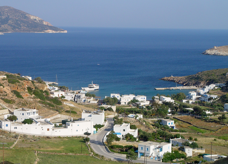

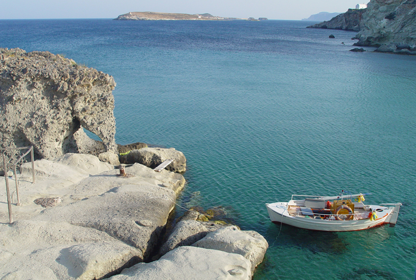
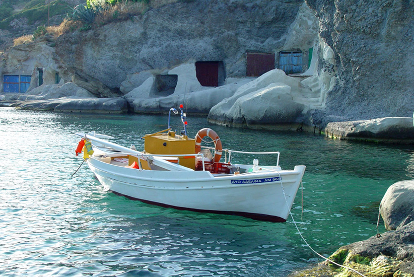
Other places in Kimolos include Psathi (the port), Klima (where you will see the old mines), Goupa (a picturesque settlement where the fishermen kept their boats in caves they had dug themselves, called syrmata), Prassa (where there are hot springs and the old bath building) and Paliokastro (where you will find ancient ruins and which is the highest peak of the island).

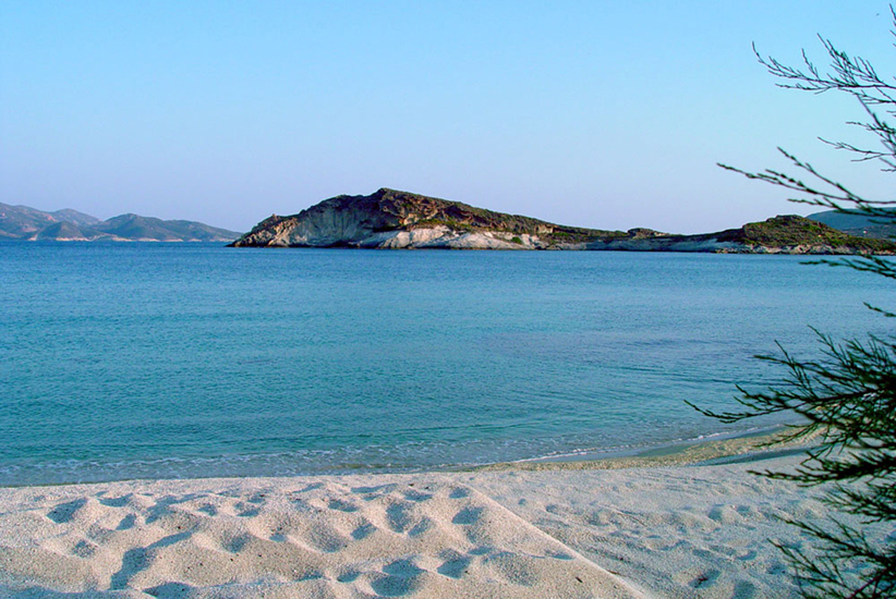

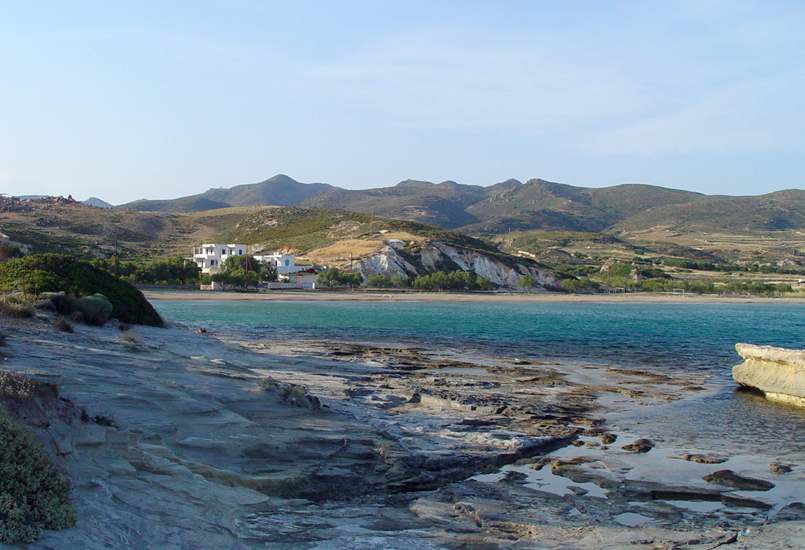
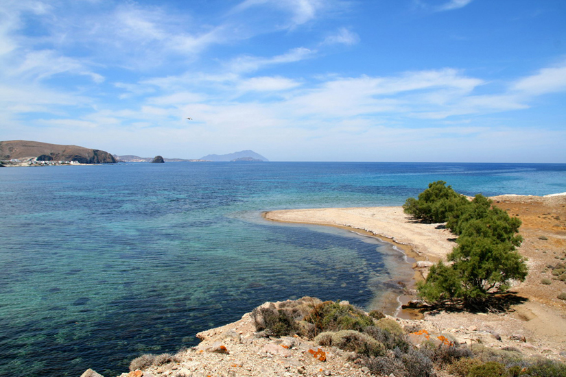
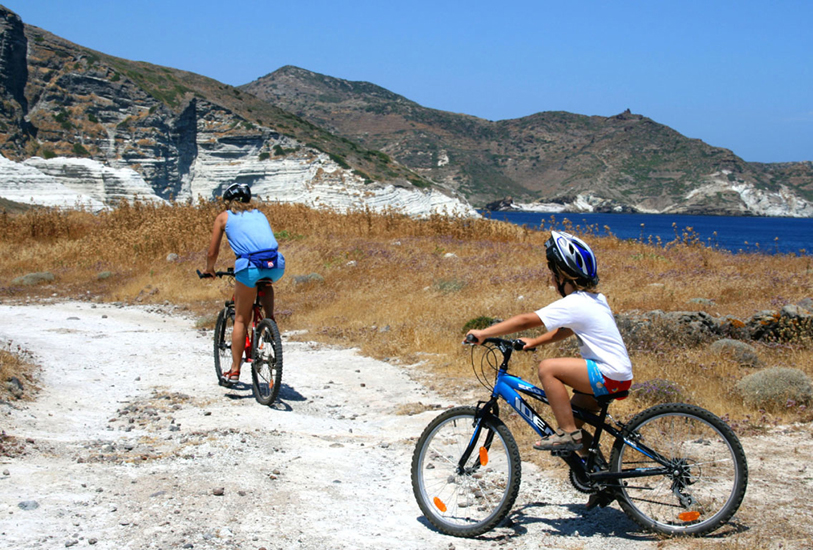
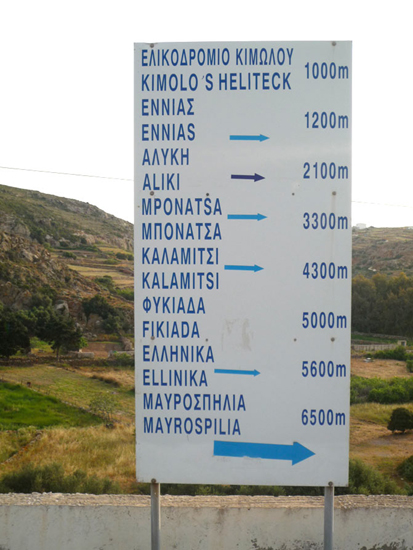
The long, sandy beaches are in the south: Aliki and Bonatsa, because of their orientation are ideal when the meltemi (summer north wind) is blowing. But the best location at such times is Kalamitsi, with a view of Milos island, shade from salt trees and a small taverna on the beach. There are also the beaches of Ellinika, Dekas and Mavrospilia with sand or small pebbles. Aghios Georgios beach at the north, with its unique white sand, is the furthest beach on the island (6.8 kilometres from from the Horio. There are other fabulous beaches around the island, like Soufi and Monastiria, as well as on the island of Polyaigos, but they are accessible only by boat.